Val di Sesto (Alta Pusteria): what to see, do and where to stay

Alto Adige (BZ) · 1,310 m a.s.l.

Le Dolomiti di Sesto e la Val Fiscalina

Foto: Isil at Italian Wikipedia · Public domain · Wikimedia Commons

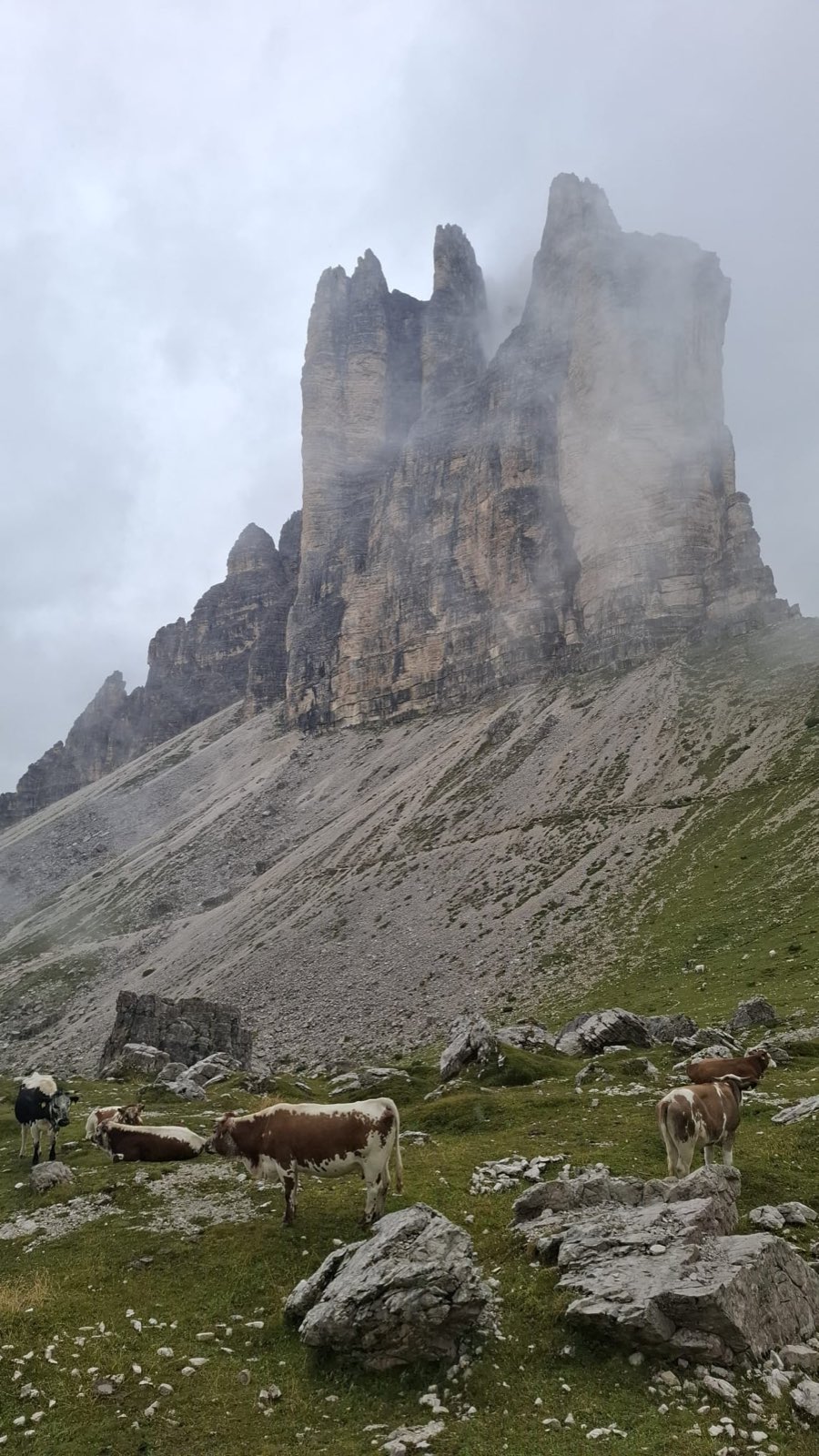
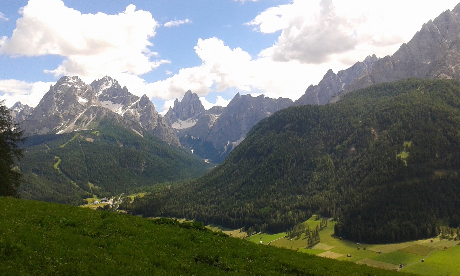
Val di Sesto, in the Alta Pusteria, is the easternmost corner of the Dolomites: a German-speaking valley of unmistakably Tyrolean character that opens around the villages of Sesto and Moso above 1,300 metres. This is borderland, where Austrian and Italian cultures meet and the bond between the community and its mountains has stayed close and everyday. The area falls inside the Tre Cime Nature Park, a UNESCO World Heritage Site.

The valley's most curious feature is the so-called Sesto Sundial, made up of the peaks named Nine, Ten, Eleven, Twelve and One. The names come from the old farming habit of telling the time by where the sun sat above each summit, as if reading the hands of a giant clock carved in rock. It's the kind of detail that tells you, better than any explanation, how tightly daily life was tied to the skyline.

The Great War cut deep here too. The Dolomite front ran straight through these peaks, and open-air museums, historic trails, and fortifications bear witness to the brutal fighting at altitude. In summer it's an ideal base for the north face of the Tre Cime di Lavaredo and for exploring the Val Fiscalina. In winter, skiing on Monte Elmo and the snowshoe trails take over from the summer walking, in a mood that always feels calm and quiet.

When it is worth coming to Val di Sesto (Alta Pusteria), month by month: When to Go to the Dolomites: A Month-by-Month Guide.

Verified data

  • Lift season · Località sciistica 3 Cime

    30 November 2025 – 21 April 2026 · 110 km · 32 lifts

    · Source: Open Data Hub Alto Adige

Every figure carries the date we checked it and the source it comes from. Once it expires it stays visible as the last known value, rather than being passed off as current.

What to seeVal di Sesto (Alta Pusteria)

Lake Dobbiaco with the woods and peaks of the Alta Pusteria behind it

Sight · Val di Sesto (Alta Pusteria)

Lago di Dobbiaco

Lake Dobbiaco (Toblacher See) is a landslide-dammed lake at 1,251 metres, on the road that drops from Dobbiaco towards Landro and Cortina. A flat path loops around it in a little over an hour, rowing boats and pedalos run in summer, and in winter the basin turns into one of the cross-country skiing hubs of the Dolomites.

The Val Fiscalina seen from above, with the peaks of the Sesto sundial

Sight · Val di Sesto (Alta Pusteria)

Meridiana delle Dolomiti di Sesto

Five peaks above Sesto are named after an hour, from Nine to One: the sun passes over them one after another, and the peak it stands over tells you, more or less, what time it is.

Val Fiscalina with its meadows and fence, and the peaks of the Sesto Sundial behind

Sight · Val di Sesto (Alta Pusteria)

Val Fiscalina

A short, spectacular valley at the foot of the Sesto Dolomites, where flat trails run beneath the peaks of the Meridiana di Sesto.

VillagesVal di Sesto (Alta Pusteria)

See all
The village of Sesto in the Upper Puster Valley with the Dolomites behind

Village · Val di Sesto (Alta Pusteria) · 1,310 m

Sesto

German-speaking village of the Upper Puster Valley, home of the Sesto Sundial and the gateway through the Val Fiscalina to the Tre Cime di Lavaredo.

Peaks, lakes and passes — Val di Sesto (Alta Pusteria)

The highest peaks near the villages

  • Punta dei Tre Scarperi3,152 m4.5 km from Sesto
  • Cima Undici3,090 m7.6 km from Sesto
  • Monte Popera3,046 m8.8 km from Sesto
  • Cresta Zsigmondy2,998 m8.3 km from Sesto
  • Punta Lavina Bianca2,968 m5.3 km from Sesto
  • Rocca dei Baranci2,966 m5.7 km from Sesto

The nearest lakes

  • Thurntaler See2,328 m7.4 km from Sesto
  • Lago dei Piani superiore2,336 m7.6 km from Sesto
  • Lago dei Piani inferiore2,207 m7.7 km from Sesto
  • Lago Malga di Mezzo2,219 m8.1 km from Sesto
  • Lago di Dobbiaco1,255 m10.0 km from Sesto
  • Lago Nero2,226 m10.1 km from Sesto

The nearest road passes

  • Passo Monte Croce di Comelico1,636 m7.4 km from Sesto
  • Col Sant’Angelo1,756 m15.3 km from Sesto
  • Passo Cimabanche1,530 m15.6 km from Sesto

Straight-line distances from the nearest village in the valley. Elevations and names from OpenStreetMap, with peaks checked against the terrain model. See the area on the map of the Dolomites.

Nearby trailsVal di Sesto (Alta Pusteria)

See all

Mountain hutsVal di Sesto (Alta Pusteria)

When to go & weatherVal di Sesto (Alta Pusteria)

Summer, June to September, is the best time for the north face of the Tre Cime di Lavaredo, for Val Fiscalina, and for walking at the foot of the rock sundial. Winter, December to March, brings skiing on Monte Elmo and the Tre Cime Dolomiti circuits, plus snowshoe and cross-country trails. Clear summer days are ideal for catching the famous play of light on the sundial, and autumn gives you warm colours and empty paths.

How to get thereVal di Sesto (Alta Pusteria)

Val di Sesto in the Alta Pusteria has good rail access. The station to aim for is San Candido, with buses on to Sesto and Moso. By car, leave the A22 at Bressanone/Val Pusteria and head east on the state road to San Candido, then carry on into the valley. From the east you can also come in from the Cadore over the Monte Croce Comelico pass. The local bus network links the villages and serves the trailheads, with summer shuttles up to Val Fiscalina.

Frequently asked questionsVal di Sesto (Alta Pusteria)

How many days do you need in Val di Sesto?

Three or four days let you reach the north face of the Tre Cime, explore Val Fiscalina, and climb to Monte Elmo. If you're into history, give the Great War routes some extra time.

Is Val di Sesto suitable for families?

Yes. There are easy walks in Val Fiscalina, scenic lifts, and quiet lakes like Lago di Dobbiaco. Plenty of the trails work for children who are happy on their feet.

What is the Sesto Dolomites sundial?

It's the group of peaks named Nine, Ten, Eleven, Twelve and One, names that come from the old farming habit of reading the time by where the sun sat above each summit. It's one of the valley's most striking symbols.

How do you reach Val di Sesto without a car?

Take the train to San Candido on the Pusteria line and carry on by scheduled bus to Sesto and Moso. The local network also gets you to the start of the main hikes.

Which lakes are there in and around Val di Sesto?

Straight-line distance from the nearest village: Thurntaler See (2,328 m, 7.4 km from Sesto); Lago dei Piani superiore (2,336 m, 7.6 km from Sesto); Lago dei Piani inferiore (2,207 m, 7.7 km from Sesto); Lago Malga di Mezzo (2,219 m, 8.1 km from Sesto); Lago di Dobbiaco (1,255 m, 10.0 km from Sesto); Lago Nero (2,226 m, 10.1 km from Sesto). By road or on foot the way is longer.

Which mountain passes are there in and around Val di Sesto?

The nearest road passes, straight-line from the nearest village: Passo Monte Croce di Comelico (1,636 m, 7.4 km from Sesto); Col Sant’Angelo (1,756 m, 15.3 km from Sesto); Passo Cimabanche (1,530 m, 15.6 km from Sesto).